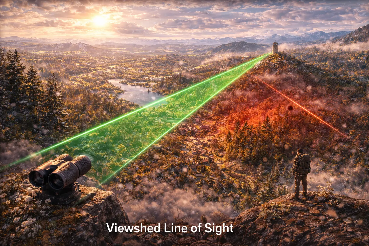
Viewshed and Line-of-Sight Analysis
Where can a fire tower see? Which houses have ocean views? Can this cell tower reach that antenna? Viewshed analysis determines what terrain locations are visible from an observer point. This model derives line-of-sight algorithms, implements efficient viewshed computation, and extends to applications.
Prerequisites: ray tracing, interpolation, geometric visibility, algorithmic geometry
1. The Question
From the top of this mountain, which valleys can you see?
Viewshed (also called “intervisibility”) determines visible areas from an observer location:
Applications:
- Fire towers: Where can rangers see smoke?
- Cell towers: Which areas have signal coverage?
- Wind turbines: Where will they be visible (visual impact)?
- Real estate: Which properties have ocean/mountain views?
- Military: Where can this position provide surveillance?
- Solar farms: Where will there be shadow/glint?
The mathematical question: Given an observer at position $(x_0, y_0, z_0)$ on a terrain, which cells in the DEM are visible (not blocked by intervening terrain)?
Challenge: Must test line-of-sight to potentially millions of cells efficiently.
2. The Conceptual Model
Line-of-Sight (LOS)
Two points have line-of-sight if:
The straight line connecting them doesn’t intersect terrain between them.
Observer: $O = (x_0, y_0, z_0)$
Target: $T = (x_1, y_1, z_1)$
Line-of-sight exists if:
\[\forall t \in (0, 1): \quad z_{\text{line}}(t) > z_{\text{terrain}}(t)\]Where:
- $z_{\text{line}}(t) = z_0 + t(z_1 - z_0)$ (elevation on sightline)
- $z_{\text{terrain}}(t)$ = terrain elevation at position $(x_0 + t(x_1 - x_0), y_0 + t(y_1 - y_0))$
If line dips below terrain at any point → blocked!
Observer Height
Total observer elevation:
\[z_{\text{observer}} = z_{\text{ground}} + h_{\text{observer}}\]Examples:
- Person: $h = 1.7$ m (eye level)
- Fire tower: $h = 20$ m (platform height)
- Cell antenna: $h = 30$ m (tower height)
Similarly, target height:
\[z_{\text{target}} = z_{\text{ground}} + h_{\text{target}}\]Person standing: $h_{\text{target}} = 1.7$ m
Building: $h_{\text{target}} = 10$ m (roof height)
Viewshed Definition
Binary viewshed:
\[V(x, y) = \begin{cases} 1 & \text{if visible from observer} \\ 0 & \text{if not visible} \end{cases}\]Cumulative viewshed (multiple observers):
\[V_{\text{total}}(x, y) = \sum_{i=1}^{n} V_i(x, y)\]Counts how many observers can see each location.
3. Building the Mathematical Model
Naive Algorithm (Too Slow)
For each target cell:
- Sample points along line from observer to target
- Interpolate terrain elevation at each sample point
- Check if sightline passes above terrain
- If all samples clear → visible
Problem: For $n \times n$ DEM, testing $n^2$ cells × $k$ samples per line = $O(n^2 k)$ complexity.
Example: 1000×1000 DEM, 100 samples per line = 100 million tests!
Efficient Algorithm: Reference Plane
Key insight: Use angle of elevation instead of sampling.
Elevation angle from observer to point $(x, y)$:
\[\alpha(x, y) = \arctan\left(\frac{z(x,y) - z_0}{d(x,y)}\right)\]Where $d(x,y) = \sqrt{(x - x_0)^2 + (y - y_0)^2}$ is horizontal distance.
Visibility rule:
Point is visible if its elevation angle exceeds maximum angle seen so far along that ray.
Algorithm:
- For each radial direction from observer
- March outward along ray
- Track maximum elevation angle seen
- If current point’s angle > max → visible, update max
- If current point’s angle ≤ max → blocked
Complexity: $O(n^2)$ but with much lower constant (single pass per cell).
Radial Sweep Algorithm
Pseudocode:
For each azimuth angle θ from 0° to 360°:
    max_angle = -∞

    For distance d from 0 to max_distance:
        x = x0 + d * cos(θ)
        y = y0 + d * sin(θ)

        z_terrain = interpolate(DEM, x, y)
        z_target = z_terrain + target_height

        angle = atan((z_target - z_observer) / d)

        if angle > max_angle:
            mark(x, y) as visible
            max_angle = angle
        else:
            mark(x, y) as not visible
Key: Maximum angle acts as “horizon” - anything below it is blocked.
Wang’s Algorithm (Efficient for Grids)
Process cells in rings around observer:
Ring 0: Observer cell (always visible)
Ring 1: 8 neighbors
Ring 2: 16 cells at distance 2
…
For each cell in ring $k$:
- Compute elevation angle to cell
- Compare to maximum angle seen in that direction
- Update visibility and max angle
Advantage: Processes each cell exactly once, cache-friendly.
4. Worked Example by Hand
Problem: Determine viewshed from observer at (2, 2) with eye height 2m.
DEM (meters):
      j=0  j=1  j=2  j=3  j=4
i=0    10   12   14   16   18
i=1    12   14   16   18   20
i=2    14   16   18   20   22
i=3    12   14   16   18   20
i=4    10   12   14   16   18
Observer at (2, 2): ground elevation 18m, observer height 2m → total 20m
Check visibility of cells along row 2 (eastward from observer).
Solution
Cell (2,3): 1 cell east
Ground elevation: 20m
Horizontal distance: $d = 1$ cell = 30m (assume 30m cell size)
Elevation difference: $20 - 20 = 0$ m
Angle: $\alpha = \arctan(0/30) = 0°$
Visible (no obstruction yet)
Max angle: $0°$
Cell (2,4): 2 cells east
Ground elevation: 22m
Distance: $d = 2 \times 30 = 60$ m
Elevation difference: $22 - 20 = 2$ m
Angle: $\alpha = \arctan(2/60) = 1.91°$
Compare to max angle: $1.91° > 0°$ → Visible
Update max angle: $1.91°$
Cell (3,3): 1 cell southeast
Ground elevation: 18m
Distance: $d = \sqrt{30^2 + 30^2} = 42.4$ m
Elevation difference: $18 - 20 = -2$ m
Angle: $\alpha = \arctan(-2/42.4) = -2.70°$
Compare to max in SE direction: Assume max was $0°$ (flat)
$-2.70° < 0°$ → Not visible (below horizon)
Continue for all cells…
Result: Cells at same or higher elevation with positive angles are visible. Lower cells may be blocked.
5. Computational Implementation
Below is an interactive viewshed simulator.
Visible cells: --
Total cells: --
Visibility: --%
Try this:
- Increase observer height: See more terrain (taller tower = bigger viewshed)
- Increase target height: People standing visible farther than ground
- Show 3D profile: See elevation cross-section with sightlines
- Green areas: Visible from observer (red dot)
- Dark areas: Blocked by intervening terrain
- Notice: Higher observer = exponentially more visibility
Key insight: Small height changes dramatically affect viewshed—why towers are tall!
6. Interpretation
Communication Networks
Cell tower placement:
1. Compute viewshed from potential tower location
2. Visible area = potential coverage
3. Optimize tower locations to maximize coverage
4. Account for signal attenuation with distance
Coverage gaps = areas not visible from any tower.
Overlap = redundant coverage (good for reliability).
Visual Impact Assessment
Wind turbine visibility:
For each turbine location:
    Compute viewshed to distance 10 km
    Count houses/roads in viewshed
    Assess visual impact score
High impact: Visible from many populated areas
Low impact: Visible only from remote locations
Fire Detection
Optimal fire tower placement:
Goal: Maximize forest visibility with minimum towers

1. Compute viewshed from each candidate location
2. Solve set cover problem:
   - Select minimum towers to cover all forest
3. Account for atmospheric visibility limits
Typical: 20-30 km visibility in clear conditions.
Military Applications
Surveillance and targeting:
- Sniper positions: High viewshed = good overwatch
- Defensive positions: What approaches are visible?
- Dead zones: Areas not visible (infiltration routes)
Inverse viewshed: From which locations is this point visible? (exposure analysis)
7. What Could Go Wrong?
Earth Curvature
For long distances, Earth curves away.
Horizon distance (for observer at height $h$):
\[d_{\text{horizon}} = \sqrt{2Rh}\]Where $R = 6371$ km (Earth radius).
Example: Observer at 100m height:
\[d = \sqrt{2 \times 6371000 \times 100} = 35.7 \text{ km}\]Beyond 36 km: Target below horizon even on flat terrain.
Solution: Adjust terrain elevation for curvature:
\[z_{\text{adjusted}} = z_{\text{DEM}} - \frac{d^2}{2R}\]Atmospheric Refraction
Light bends in atmosphere (increases visible distance).
Effective Earth radius: $R_{\text{eff}} = \frac{4}{3}R$
Refraction extends horizon ~7%.
Solution: Use adjusted radius in curvature calculations.
DEM Resolution
Coarse DEM misses small obstructions:
- Buildings
- Trees
- Terrain micro-relief
30m DEM: Can’t represent 2m wall.
Solution:
- Use high-resolution DEM (1m LiDAR)
- Add separate obstruction layer (buildings, vegetation)
Computational Cost
Full viewshed for large DEM:
1000×1000 DEM → 1 million line-of-sight tests
Each test: ~100 samples → 100 million operations
Solution:
- Limit search radius
- Use hierarchical algorithms
- GPU acceleration
- Approximate methods (sector-based)
8. Extension: Cumulative Viewshed
Multiple observers: Which areas are visible from ≥ k observers?
Applications:
- Surveillance networks: Ensure double coverage
- Tourism: Scenic viewpoints (visible from multiple spots)
- Privacy: Areas visible from many locations (lack privacy)
Algorithm:
cumulative_viewshed = zeros(rows, cols)

for each observer location:
    viewshed = compute_viewshed(observer)
    cumulative_viewshed += viewshed

# Result: count of observers that can see each cell
Query: Find cells visible from ≥ 3 observers:
high_visibility = (cumulative_viewshed >= 3)
9. Math Refresher: Ray-Plane Intersection
Parametric Ray
Ray from point $O$ in direction $\mathbf{d}$:
\[\mathbf{r}(t) = O + t\mathbf{d}, \quad t \geq 0\]Components:
\(x(t) = x_0 + t d_x\) \(y(t) = y_0 + t d_y\) \(z(t) = z_0 + t d_z\)
Intersection with Terrain
Terrain surface: $z = f(x, y)$ (DEM function)
Intersection: Solve $z(t) = f(x(t), y(t))$
For simple case (linear terrain segment):
\[z_0 + t(z_1 - z_0) = z_{\text{terrain}}\] \[t = \frac{z_{\text{terrain}} - z_0}{z_1 - z_0}\]If $0 < t < 1$: Ray intersects terrain → blocked
If $t < 0$ or $t > 1$: No intersection → clear
Elevation Angle
From observer $O$ at height $z_0$ to target at distance $d$ and height $z_1$:
\[\alpha = \arctan\left(\frac{z_1 - z_0}{d}\right)\]Positive angle: Target above observer
Negative angle: Target below observer
Zero angle: Same elevation
Summary
- Viewshed determines which terrain cells are visible from an observer
- Line-of-sight exists if sightline doesn’t intersect intervening terrain
- Observer/target height added to ground elevation for total elevation
- Efficient algorithm uses elevation angles and horizon tracking (O(n²))
- Radial sweep processes cells outward, tracking maximum angle in each direction
- Applications: Cell towers, fire detection, visual impact, military surveillance
- Challenges: Earth curvature, atmospheric refraction, DEM resolution, computation cost
- Cumulative viewshed combines multiple observers to find coverage/overlap
- Small height differences (tower height) dramatically affect visibility
- Critical for telecommunications, emergency response, and spatial planning