Glacier Mass Balance
Why are glaciers retreating? How much water do they store? Glacier mass balance— the difference between accumulation (snow input) and ablation (ice/snow loss)— determines whether glaciers grow or shrink. This model derives mass balance equations, implements equilibrium line altitude calculation, and shows how mass balance connects to climate change and sea level rise.
Prerequisites: mass balance equation, accumulation ablation, equilibrium line, ice dynamics
1. The Question
Will this glacier exist in 50 years?
Glacier mass balance determines fate:
\[\frac{dM}{dt} = \dot{b}\]Where:
- $M$ = glacier mass (kg)
- $\dot{b}$ = mass balance rate (kg/m²/year or m w.e./year)
- w.e. = water equivalent
Components:
\[\dot{b} = \dot{c} - \dot{a}\]Where:
- $\dot{c}$ = accumulation rate (snowfall, avalanches, refreezing)
- $\dot{a}$ = ablation rate (melt, sublimation, calving)
Three scenarios:
- $\dot{b} > 0$: Glacier growing (positive balance)
- $\dot{b} = 0$: Steady state (equilibrium)
- $\dot{b} < 0$: Glacier shrinking (negative balance)
Current reality: Most glaciers worldwide have $\dot{b} < 0$ (retreating)
2. The Conceptual Model
Glacier Zones
Accumulation zone (upper glacier):
- Snowfall > melt
- Net gain each year
- Ice flows downward
Ablation zone (lower glacier):
- Melt > snowfall
- Net loss each year
- Ice flows in from above
Equilibrium Line Altitude (ELA):
- Where accumulation = ablation
- Divides two zones
- Typically 3000-4000m in mid-latitudes
Mass Balance Gradients
Typical profile:
With elevation:
- High elevation: Large positive balance (+2 m w.e./year)
- ELA: Zero balance (0 m w.e./year)
- Low elevation: Large negative balance (-4 m w.e./year)
Gradient:
\[\frac{d\dot{b}}{dz} \approx 0.005-0.010 \text{ year}^{-1}\](5-10 mm w.e. per meter elevation)
Seasonal Cycle
Winter (Oct-May):
- Accumulation dominates
- Snow accumulates
- Little/no melt (cold)
Summer (Jun-Sep):
- Ablation dominates
- Snow and ice melt
- Maximum mass loss
Net annual balance:
\[\dot{b}_{\text{annual}} = \dot{b}_{\text{winter}} + \dot{b}_{\text{summer}}\]Typically: $\dot{b}{\text{winter}} > 0$, $\dot{b}{\text{summer}} < 0$
3. Building the Mathematical Model
Point Mass Balance
At elevation $z$, time $t$:
\[\dot{b}(z,t) = P_{\text{snow}}(z,t) - M(z,t) - S(z,t) - C(z,t)\]Where:
- $P_{\text{snow}}$ = solid precipitation
- $M$ = surface melt
- $S$ = sublimation
- $C$ = calving (if at terminus)
Melt from energy balance:
\[M = \frac{Q_{\text{net}}}{L_f \rho_w}\]Where $Q_{\text{net}}$ from Model 42 (shortwave, longwave, sensible, latent).
Glacier-Wide Balance
Integrate over glacier area:
\[B = \int_A \dot{b}(x,y) \, dA\]Where:
- $B$ = total mass balance (m³ w.e./year)
- $A$ = glacier area
Specific balance (per unit area):
\[\bar{b} = \frac{B}{A}\]Units: m w.e./year
Typical values:
- Healthy glacier (equilibrium): $\bar{b} \approx 0$ m/year
- Retreating glacier: $\bar{b} = -0.5$ to $-2$ m/year
- Advancing glacier: $\bar{b} = +0.5$ to $+1$ m/year (rare today)
Equilibrium Line Altitude
ELA where $\dot{b}(z_{\text{ELA}}) = 0$
Linear mass balance model:
\[\dot{b}(z) = \beta(z - z_{\text{ELA}})\]Where $\beta$ = mass balance gradient (year⁻¹)
Example: $\beta = 0.008$ year⁻¹, ELA = 3200m
At 3500m: $\dot{b} = 0.008(3500 - 3200) = +2.4$ m/year
At 2900m: $\dot{b} = 0.008(2900 - 3200) = -2.4$ m/year
Accumulation Area Ratio (AAR)
\[\text{AAR} = \frac{A_{\text{accumulation}}}{A_{\text{total}}}\]Equilibrium glacier: AAR ≈ 0.65 (65% in accumulation zone)
Retreating glacier: AAR < 0.65
Advancing glacier: AAR > 0.65
Why 65%? Accumulation zone has gentler slopes (more area per elevation), ablation zone steeper.
4. Worked Example by Hand
Problem: Calculate glacier-wide mass balance.
Glacier profile:
| Elevation (m) | Area (km²) | $\dot{b}$ (m/year) |
|---|---|---|
| 3600-3800 | 2.0 | +1.5 |
| 3400-3600 | 3.0 | +1.0 |
| 3200-3400 | 4.0 | +0.5 |
| 3000-3200 | 3.5 | -0.5 |
| 2800-3000 | 2.5 | -1.5 |
| 2600-2800 | 1.0 | -2.5 |
Total area: 16.0 km²
Find: Glacier-wide mass balance, ELA, AAR
Solution
Step 1: Mass balance by band
Band 1: $B_1 = 2.0 \times 1.5 = +3.0$ km² · m/year
Band 2: $B_2 = 3.0 \times 1.0 = +3.0$
Band 3: $B_3 = 4.0 \times 0.5 = +2.0$
Band 4: $B_4 = 3.5 \times (-0.5) = -1.75$
Band 5: $B_5 = 2.5 \times (-1.5) = -3.75$
Band 6: $B_6 = 1.0 \times (-2.5) = -2.5$
Step 2: Total balance
\[B_{\text{total}} = 3.0 + 3.0 + 2.0 - 1.75 - 3.75 - 2.5 = 0.0 \text{ km}^3 \text{ w.e./year}\]Specific balance:
\[\bar{b} = \frac{0.0}{16.0} = 0.0 \text{ m/year}\]This glacier is in equilibrium!
Step 3: Find ELA
ELA between bands 3 and 4 (where balance crosses zero).
Linear interpolation:
- Band 3 top (3400m): +0.5 m/year
- Band 4 bottom (3200m): -0.5 m/year
Step 4: Calculate AAR
Accumulation zone (above 3300m): Bands 1, 2, 3 = 2.0 + 3.0 + 4.0 = 9.0 km²
\[\text{AAR} = \frac{9.0}{16.0} = 0.56 = 56\%\]Note: AAR = 56% < 65% suggests this glacier would typically be retreating, BUT net balance is zero. This could indicate:
- Recent advance (geometry catching up)
- Steep ablation zone (high mass turnover)
- Measurement uncertainty
Typical healthy glacier: AAR ≈ 0.65, $\bar{b} = 0$
5. Computational Implementation
Below is an interactive glacier mass balance simulator.
Glacier-wide balance: -- m/year
ELA: -- m
AAR: --
Status: --
Try this:
- ELA shift +100m: Warmer climate, glacier retreats (red bars dominate)
- ELA shift -100m: Cooler climate, glacier advances (blue bars dominate)
- Higher gradient: Steeper mass balance profile (more sensitive)
- Lower terminus: Longer glacier, more ablation zone
- Blue bars: Accumulation (snow gain)
- Red bars: Ablation (ice loss)
- Orange line: Equilibrium Line Altitude
- Gray dashed: Glacier area distribution
- Watch balance go from positive → equilibrium → negative!
Key insight: Small ELA shifts (+100m = ~0.7°C warming) dramatically affect glacier mass balance!
6. Interpretation
Climate Change Signal
Global average: ELA rising ~150m since 1980
Causes:
- Temperature increase (+1°C globally)
- Changes in precipitation patterns
- Earlier melt onset
- Longer melt season
Glacier response:
- 83% of glaciers retreating
- Accelerating mass loss: -280 Gt/year (2000-2019)
- Contributes ~0.7 mm/year to sea level rise
Regional Variability
Maritime glaciers (Alaska, Patagonia, Iceland):
- High accumulation, high ablation
- Large mass turnover
- Fast response to climate (~10-20 years)
Continental glaciers (central Asia):
- Low accumulation, low ablation
- Slow mass turnover
- Slower response (~50-100 years)
Example - Jakobshavn Glacier (Greenland):
- 1985: $\bar{b} \approx 0$ m/year
- 2000: $\bar{b} = -5$ m/year
- 2015: $\bar{b} = -12$ m/year
- Dramatic acceleration!
Water Resources
Glaciers = frozen reservoirs:
During warming:
- Increased melt → more summer flow (initially)
- “Peak water” occurs when glacier contribution maximal
- After peak → declining flow as glaciers shrink
- Eventually → minimal glacial contribution
Central Asia:
- Peak water ~2020-2030
- Major impacts on irrigation, hydropower
7. What Could Go Wrong?
Debris Cover
Rock debris on glacier surface:
Thin debris (<5 cm):
- Darkens surface, lowers albedo
- Increases melt (more absorbed solar)
Thick debris (>10 cm):
- Insulates ice
- Decreases melt (less energy reaches ice)
Result: Standard energy balance overestimates melt under thick debris.
Solution: Debris thickness model, adjust conductivity.
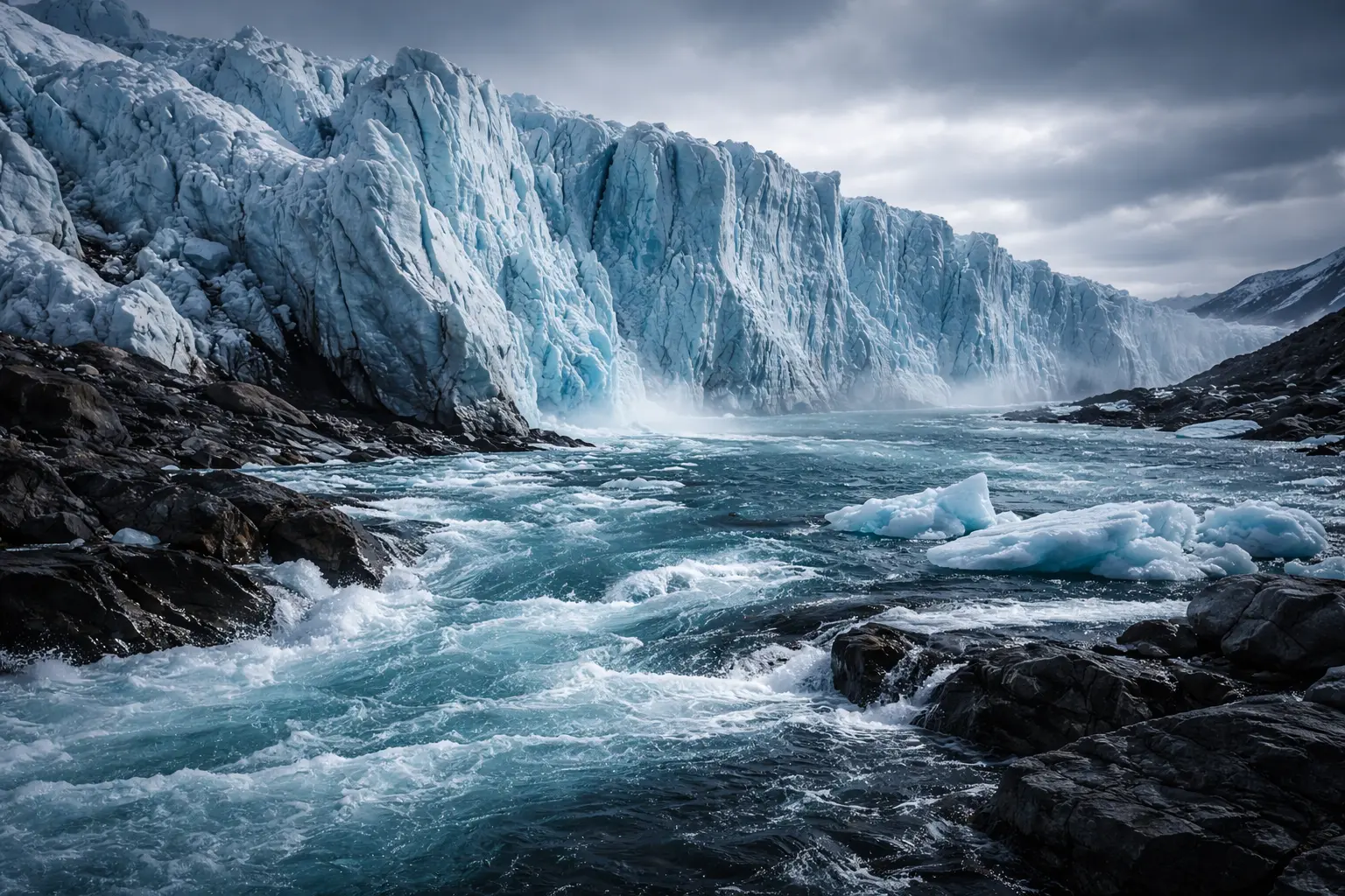
Calving Not Accounted
Tidewater glaciers:
Large mass loss from icebergs breaking off.
Calving flux:
\[C = u \times H \times W\]Where:
- $u$ = ice velocity at terminus (m/year)
- $H$ = ice thickness (m)
- $W$ = terminus width (m)
Can exceed surface melt by 2-5×!
Solution: Include calving in ablation term.
Internal Accumulation
Meltwater refreezes within snow/firn:
Not recorded as ablation (water stays in glacier).
Can be 10-30% of surface melt in cold glaciers.
Solution: Model refreezing with cold content calculation.
Temporal Resolution
Point measurements (stakes) 2× per year:
Miss short-term events:
- Rain-on-snow
- Mid-winter melt
- Dust deposition (albedo change)
Solution: Automated weather stations, remote sensing, modelling.
8. Extension: Geodetic Mass Balance
Measure elevation change with repeat surveys:
\[\Delta M = \Delta V \times \rho_{\text{ice}}\]Where:
- $\Delta V$ = volume change (from DEM differencing)
- $\rho_{\text{ice}} \approx 900$ kg/m³
Methods:
- Photogrammetry (aerial photos)
- LiDAR (airborne laser)
- InSAR (satellite radar)
- ICESat (satellite laser altimetry)
Advantages:
- Glacier-wide, not point
- Independent validation of glaciological method
- Detects systematic biases
Disadvantages:
- Requires firn density assumption
- Lower temporal resolution
- Expensive
Validation: Geodetic vs. glaciological should agree within ±20%.
9. Math Refresher: Conservation of Mass
Continuity Equation
For any control volume:
\[\frac{\partial M}{\partial t} = \dot{M}_{\text{in}} - \dot{M}_{\text{out}}\]For glacier:
\[\frac{\partial M}{\partial t} = \dot{b} \times A\]Integrated over time:
\[M(t) = M(t_0) + \int_{t_0}^{t} \dot{b}(t') \, dt'\]Discrete (annual):
\[M_n = M_0 + \sum_{i=1}^{n} \dot{b}_i\]Cumulative balance tracks total mass change since reference year.
Flux Divergence
Ice thickness change:
\[\frac{\partial H}{\partial t} = \dot{b} - \nabla \cdot \vec{q}\]Where:
- $H$ = ice thickness
- $\vec{q}$ = ice flux vector (depth-integrated velocity)
Steady state: $\partial H/\partial t = 0$ requires flux divergence balances mass balance:
\[\nabla \cdot \vec{q} = \dot{b}\]Accumulation zone: Ice flows away ($\nabla \cdot \vec{q} > 0$)
Ablation zone: Ice flows in ($\nabla \cdot \vec{q} < 0$)
Summary
- Mass balance: Accumulation minus ablation determines glacier fate
- Equilibrium Line Altitude (ELA): Where balance = 0, divides glacier zones
- Mass balance gradient: Typically 5-10 mm w.e. per meter elevation
- Accumulation Area Ratio (AAR): Healthy glaciers ≈ 0.65, retreating < 0.65
- Current trends: 83% of glaciers retreating, ELA rising ~150m since 1980
- Climate sensitivity: +100m ELA shift ≈ +0.7°C warming
- Global impact: Glaciers contribute ~0.7 mm/year to sea level rise
- Measurement methods: Stakes/pits (glaciological), DEM differencing (geodetic)
- Challenges: Debris cover, calving, internal accumulation, temporal resolution
- Applications: Water resources, climate change monitoring, sea level prediction
- Foundation for understanding glacier response to climate and ice dynamics