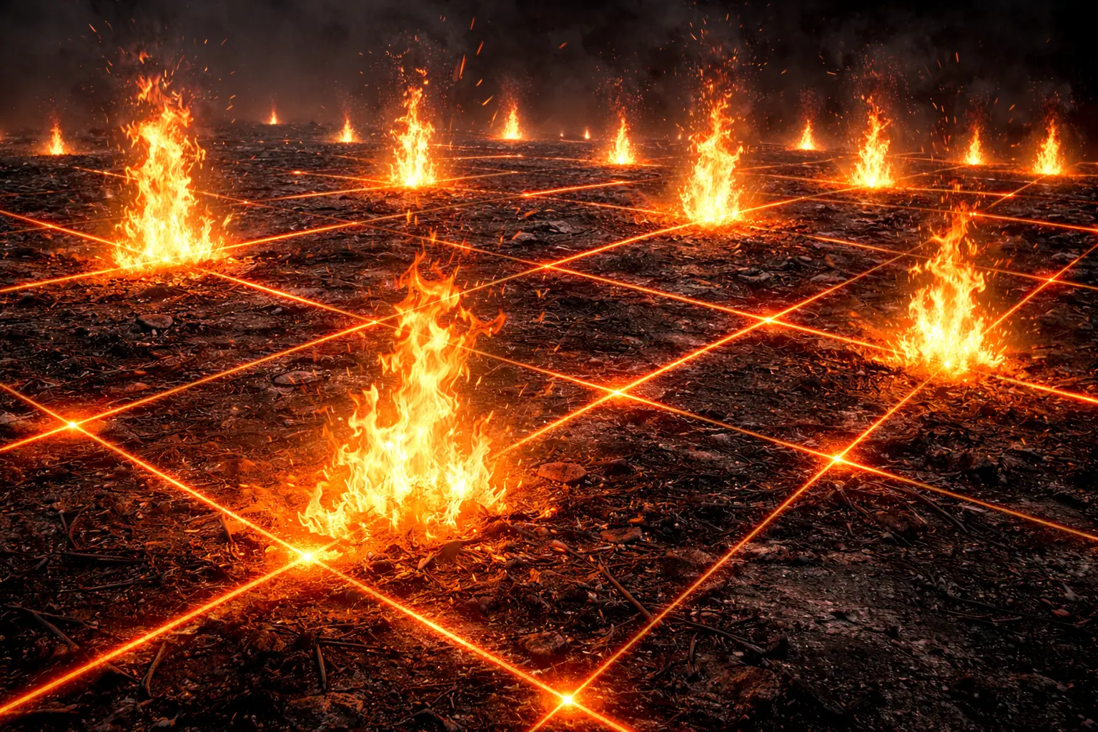
Fire Weather and Ignition Potential
What weather conditions create extreme wildfire risk? Fire weather combines temperature, humidity, wind, and fuel conditions to determine ignition potential and fire behavior. This model derives fuel moisture equations, implements vapor pressure deficit calculations, demonstrates fire weather indices, and maps ignition probability across landscapes.
Prerequisites: fuel moisture, vapor pressure deficit, fire weather indices, ignition probability
1. The Question
Will today’s weather conditions trigger catastrophic wildfires?
Fire weather:
Meteorological conditions controlling fire ignition and spread.
Critical factors:
Temperature: Higher → drier fuels, more volatilization
Humidity: Lower → drier fuels, faster spread
Wind: Stronger → rapid spread, spot fires
Precipitation: Recent rain → wet fuels, low risk
Fire triangle:
- Fuel (vegetation)
- Oxygen (atmosphere)
- Heat (ignition source)
Weather affects all three:
- Fuel moisture content
- Wind supplies oxygen
- Temperature affects ignition threshold
Applications:
- Fire danger rating systems
- Red flag warnings
- Prescribed burn planning
- Firefighting resource allocation
- Evacuation decisions
Indices:
- Fire Weather Index (FWI, Canada)
- Keetch-Byram Drought Index (KBDI, USA)
- Haines Index (atmospheric instability)
- Hot-Dry-Windy Index (HDW)
2. The Conceptual Model
Fuel Moisture Content
Definition:
\[MC = \frac{m_{\text{water}}}{m_{\text{dry}}} \times 100\%\]Where:
- $MC$ = moisture content (%)
- $m_{\text{water}}$ = mass of water
- $m_{\text{dry}}$ = dry fuel mass
Categories:
Fine fuels (1-hour): Grasses, needles, <6mm diameter
Medium fuels (10-hour): Twigs, 6-25mm
Heavy fuels (100-hour): Branches, 25-75mm
Large fuels (1000-hour): Logs, >75mm
Equilibrium moisture content (EMC):
\[EMC = 0.03 + 0.2626 \times RH^{0.935} - 0.00104 \times T\]Where:
- $RH$ = relative humidity (%)
- $T$ = temperature (°C)
Ignition thresholds:
- Dead fuels: MC < 15% (flammable)
- Dead fuels: MC < 8% (extreme fire danger)
- Live fuels: MC < 80% (drought-stressed, flammable)
Vapor Pressure Deficit
Atmospheric drying power:
\[VPD = e_s - e_a\]Where:
- $e_s$ = saturation vapor pressure (kPa)
- $e_a$ = actual vapor pressure (kPa)
Saturation vapor pressure (Tetens equation):
\[e_s = 0.611 \exp\left(\frac{17.27 T}{T + 237.3}\right)\]Actual vapor pressure:
\[e_a = \frac{RH}{100} \times e_s\]High VPD (>3 kPa): Rapid fuel drying, plant stress
Low VPD (<1 kPa): Slow drying, less fire danger
Wind Effects
Rate of spread:
\[ROS = ROS_0 (1 + C \times U^B)\]Where:
- $ROS$ = rate of spread (m/min)
- $ROS_0$ = no-wind spread rate
- $U$ = wind speed (km/h)
- $C, B$ = empirical constants (fuel-dependent)
Typical: Wind doubles spread rate every 10 km/h increase
Critical wind speeds:
- 25 km/h: Moderate spread
- 40 km/h: Fast spread, difficulty controlling
- 60+ km/h: Extreme spread, spotting, ember storms
Gustiness: Variable winds → unpredictable fire behavior
3. Building the Mathematical Model
Time-Lag Fuel Moisture
Exponential approach to equilibrium:
\[MC(t) = EMC + (MC_0 - EMC) e^{-t/\tau}\]Where:
- $MC(t)$ = moisture at time $t$
- $MC_0$ = initial moisture
- $EMC$ = equilibrium moisture content
- $\tau$ = time lag (hours)
Time lags:
- 1-hour: $\tau = 1$ h (fine fuels)
- 10-hour: $\tau = 10$ h
- 100-hour: $\tau = 100$ h
- 1000-hour: $\tau = 1000$ h
Example:
Initial MC = 20%, EMC = 8%, after 3 hours (1-hour fuel):
\[MC(3) = 8 + (20 - 8) e^{-3/1} = 8 + 12 \times 0.050 = 8.6\%\]Rapid drying in 3 hours!
Fire Weather Index (FWI)
Canadian FWI System:
Fine Fuel Moisture Code (FFMC):
Moisture in litter/fine fuels (0-101 scale).
\[FFMC_{\text{new}} = 59.5 \times \frac{250 - MC}{147.2 + MC}\]High FFMC (>90): Very dry, high ignition potential
Duff Moisture Code (DMC):
Moderate duff/humus moisture.
Drought Code (DC):
Deep organic layer moisture (cumulative dryness).
Initial Spread Index (ISI):
\[ISI = 0.208 \times FFMC \times \left(1 + \frac{U}{10}\right)\]Combines fuel moisture and wind.
Fire Weather Index:
\[FWI = 0.05 \times ISI \times \sqrt{BUI}\]Where $BUI$ = buildup index (from DMC, DC).
Interpretation:
- FWI < 5: Low danger
- FWI 5-10: Moderate
- FWI 10-20: High
- FWI 20-30: Very high
- FWI > 30: Extreme
Keetch-Byram Drought Index
Cumulative moisture deficit:
\[KBDI_{\text{new}} = KBDI_{\text{old}} + \Delta KBDI - P_{\text{eff}}\]Drought factor:
\[\Delta KBDI = \frac{(800 - KBDI) \times (0.968 \times e^{0.0486T} - 8.3)}{1 + 10.88 e^{-0.001736 \times MAP}}\]Where:
- $T$ = temperature (°C)
- $MAP$ = mean annual precipitation (mm)
- $P_{\text{eff}}$ = effective precipitation (mm)
Scale: 0-800
- 0-200: Soil/fuel moisture adequate
- 200-400: Soil moisture declining
- 400-600: Drought affecting fire potential
- 600-800: Severe drought, extreme fire danger
4. Worked Example by Hand
Problem: Calculate fire danger indices for given weather.
Weather conditions:
- Temperature: 35°C
- Relative humidity: 20%
- Wind speed: 30 km/h
- No precipitation last 7 days
Fuel state:
- Initial 1-hour fuel MC: 18%
- Initial FFMC: 85
Calculate EMC, VPD, updated FFMC, ISI, and fire danger level.
Solution
Step 1: Equilibrium Moisture Content
\[EMC = 0.03 + 0.2626 \times 20^{0.935} - 0.00104 \times 35\] \[= 0.03 + 0.2626 \times 15.2 - 0.036\] \[= 0.03 + 3.99 - 0.036 = 3.98\%\]Very dry equilibrium!
Step 2: Vapor Pressure Deficit
\[e_s = 0.611 \exp\left(\frac{17.27 \times 35}{35 + 237.3}\right)\] \[= 0.611 \exp\left(\frac{604.45}{272.3}\right) = 0.611 \times e^{2.22} = 0.611 \times 9.21 = 5.63 \text{ kPa}\] \[e_a = \frac{20}{100} \times 5.63 = 1.13 \text{ kPa}\] \[VPD = 5.63 - 1.13 = 4.50 \text{ kPa}\]Very high VPD (extreme drying)
Step 3: 1-hour fuel moisture after 3 hours
\[MC(3) = 3.98 + (18 - 3.98) e^{-3/1}\] \[= 3.98 + 14.02 \times 0.050 = 3.98 + 0.70 = 4.68\%\]Approaching equilibrium, very dry
Step 4: Updated FFMC
\[FFMC = 59.5 \times \frac{250 - 4.68}{147.2 + 4.68}\] \[= 59.5 \times \frac{245.32}{151.88} = 59.5 \times 1.615 = 96.1\]Very high FFMC (>90 = extreme)
Step 5: Initial Spread Index
\[ISI = 0.208 \times 96.1 \times \left(1 + \frac{30}{10}\right)\] \[= 19.99 \times 4 = 80.0\]Extremely high ISI
Step 6: Fire danger assessment
- FFMC = 96.1: Extreme
- VPD = 4.5 kPa: Extreme drying
- Wind = 30 km/h: Moderate-high
- ISI = 80: Extreme
Overall: EXTREME FIRE DANGER
Red flag warning criteria met. Any ignition likely to become rapidly spreading, uncontrollable fire.
5. Computational Implementation
Below is an interactive fire weather simulator.
VPD: -- kPa
1-hr fuel MC: --%
FFMC: --
Fire danger: --
Observations:
- VPD peaks in afternoon when temperature highest and humidity lowest
- Fuel moisture content reaches minimum in afternoon
- Fire danger typically greatest 2-4 PM
- Extended dry periods drive fuel moisture to dangerous levels
- Red line (VPD): Atmospheric drying power
- Blue line (Fuel MC): Equilibrium moisture content
- Green dashed: Peak danger period
Key insights:
- Hot, dry, windy conditions create extreme fire danger
- Diurnal cycle important for fire behavior prediction
- Multi-day drying cumulative effect critical
- Combined indices provide comprehensive fire danger assessment
6. Interpretation
Red Flag Warnings
National Weather Service criteria (USA):
Combination of:
- RH ≤ 15%
- Wind ≥ 25 mph (40 km/h)
- Unstable atmosphere (Haines Index)
During red flag:
- No outdoor burning
- Heightened firefighting readiness
- Public awareness campaigns
- Prescribed burns cancelled
Example - California 2020:
Labor Day heat wave:
- T = 45°C, RH = 8%, winds 50 km/h
- Multiple megafires ignited
- 4+ million acres burned (record)
Prescribed Burn Windows
Safe conditions required:
- Fuel MC: 10-18% (will burn but controllable)
- Wind: 8-25 km/h (enough spread, not too fast)
- RH: 30-60% (moderate)
- Atmospheric stability (smoke dispersal)
Narrow windows:
Spring/fall often best (temperature moderate, some moisture).
Example - Florida:
Winter burns common (cooler, higher humidity baseline).
Seasonal Fire Danger
Mediterranean climate (California):
Peak danger: Late summer-fall (hot, dry, Santa Ana winds)
Monsoonal (Southwest USA):
Peak: May-June (pre-monsoon drought)
Relief: July-September (monsoon rains)
Temperate forest (PNW):
Peak: July-August (summer drought)
Low: October-May (wet season)
7. What Could Go Wrong?
Haines Index Ignored
Atmospheric instability amplifies fire behavior.
Haines Index:
Combines:
- Stability (temperature lapse rate)
- Moisture (dew point depression aloft)
High Haines (5-6):
Extreme fire behavior potential:
- Plume-driven spread
- Erratic winds
- Rapid fire growth
2003 Canberra fires:
Moderate FFMC but high Haines → catastrophic fire behavior.
Lesson: Surface indices insufficient alone.
Fuel Load Not Considered
FFMC measures moisture, not quantity.
Heavy fuel load:
Years of accumulation (fire suppression) → more available energy.
Light fuel load:
Recent fire or minimal vegetation → less fire spread even if dry.
Solution: Integrate fuel maps (biomass, fuel type).
Topography Effects
Slope increases spread:
\[ROS_{\text{slope}} = ROS_{\text{flat}} \times e^{k \times \text{slope}}\]Where $k \approx 0.05-0.1$ (per degree slope).
Chimneys/canyons:
Funneled winds, preheating → extreme spread.
Aspect:
South-facing slopes (northern hemisphere): Hotter, drier → more flammable.
Solution: Incorporate terrain into fire danger mapping.
Spotting Not Predicted
Ember transport downwind.
Distance: 0.5-5 km typical, up to 30 km in extreme conditions.
Creates new fires ahead of main front.
Example - 2009 Black Saturday (Australia):
Spotting from eucalyptus bark ignited fires 20+ km ahead.
Unpredictable with standard fire weather indices.
8. Extension: Lightning Fire Prediction
Dry lightning:
Thunderstorms with minimal rain → fire ignition.
Prediction:
Lifted Index (LI):
\[LI = T_{500} - T_{\text{parcel,500}}\]Where $T_{500}$ = environment temperature at 500 mb.
Negative LI: Unstable, thunderstorms likely
Precipitation efficiency:
Low = dry lightning.
Combined model:
\[P_{\text{ignition}} = P_{\text{lightning}} \times (1 - P_{\text{rain}}) \times f(MC)\]Where:
- $P_{\text{lightning}}$ from convective indices
- $P_{\text{rain}}$ from precipitation forecast
- $f(MC)$ = fuel moisture ignitability
9. Math Refresher: Exponential Decay
General Form
\[y(t) = y_{\infty} + (y_0 - y_{\infty}) e^{-t/\tau}\]Where:
- $y(t)$ = value at time $t$
- $y_0$ = initial value
- $y_{\infty}$ = equilibrium value
- $\tau$ = time constant
Half-life:
\[t_{1/2} = \tau \ln 2 \approx 0.693 \tau\]Time to 90% equilibrium:
\[t_{90\%} = \tau \ln 10 \approx 2.3 \tau\]Application to Fuel Moisture
Fuel approaches EMC exponentially.
Time lag = $\tau$
1-hour fuel: 63% to EMC in 1 hour, 90% in 2.3 hours.
100-hour fuel: Takes 230 hours (9.6 days) to reach 90% of EMC.
Summary
- Fire weather combines temperature, humidity, wind, and precipitation to determine fire danger
- Fuel moisture content critical threshold below 15% for ignition, below 8% for extreme danger
- Vapor pressure deficit quantifies atmospheric drying power affecting fuel and vegetation
- Fire Weather Index integrates fuel moisture, wind, and cumulative dryness into single metric
- Equilibrium moisture content derived from temperature and relative humidity relationships
- Time-lag fuels respond at different rates from hours to weeks
- Red flag warnings issued when RH ≤15%, wind ≥40 km/h, and unstable atmosphere
- Applications span prescribed burn planning, firefighting readiness, public warnings
- Challenges include atmospheric instability effects, topographic modifications, spotting
- Critical tool for wildfire risk assessment and fire management operations