Earth as a Rotating Sphere
"The Earth is a sphere rotating on an axis. Every point on the surface traces a circle once per day. To model Earth observation from space, we need to work in spherical coordinates and transform between latitude/longitude and Cartesian xyz. This model builds that foundation."
Prerequisites: spherical coordinates, angular velocity, coordinate transforms, trigonometry
1. The Question
How do we describe positions on a rotating sphere?
A satellite orbits Earth, passing over different latitudes and longitudes. A ground station needs to know: when will the satellite be overhead? What angle should the antenna point?
To answer these questions, we need:
- A coordinate system for locations on Earth’s surface
- A way to transform between spherical and Cartesian coordinates
- An understanding of Earth’s rotation — how positions change with time
The mathematical question: How do we model the Earth as a geometric object and work with its coordinates?
2. The Conceptual Model
Earth as a Sphere
Simplification: Treat Earth as a perfect sphere with radius $R = 6371$ km.
Reality: Earth is an oblate spheroid — slightly flattened at the poles (equatorial radius 6378 km, polar radius 6357 km). The difference is small (~0.3%) for many applications.
Geographic coordinates:
- Latitude (φ or lat): Angle north or south of the equator (−90° to +90°)
- Longitude (λ or lon): Angle east or west of the prime meridian (−180° to +180° or 0° to 360°)
Convention:
- North latitude is positive, south is negative
- East longitude is positive (0° to 180°), west is negative (0° to −180°)
- The prime meridian (0° longitude) passes through Greenwich, England
Spherical Coordinates
In spherical coordinates, a point is defined by:
- Radial distance $r$ from the origin (Earth’s center)
- Polar angle $\theta$ (co-latitude, measured from the north pole: 0° to 180°)
- Azimuthal angle $\phi$ (longitude, measured from the prime meridian)
Relationship to latitude:
\[\theta = 90° - \text{latitude}\]For a point on Earth’s surface, $r = R$ (constant).
3. Building the Mathematical Model
Converting Spherical to Cartesian Coordinates
Given latitude $\text{lat}$, longitude $\text{lon}$, and radius $R$:
Cartesian coordinates $(x, y, z)$:
\[x = R \cos(\text{lat}) \cos(\text{lon})\] \[y = R \cos(\text{lat}) \sin(\text{lon})\] \[z = R \sin(\text{lat})\]Coordinate system:
- x-axis: Points from Earth’s center through (lat=0°, lon=0°) — equator at prime meridian
- y-axis: Points from Earth’s center through (lat=0°, lon=90°E) — equator at 90°E
- z-axis: Points from Earth’s center through the North Pole (lat=90°)
Units: Use radians for trig functions:
\[\text{lat}_{\text{rad}} = \text{lat}_{\text{deg}} \times \frac{\pi}{180}\]Converting Cartesian to Spherical Coordinates
Given $(x, y, z)$:
\[r = \sqrt{x^2 + y^2 + z^2}\] \[\text{lat} = \arcsin\left(\frac{z}{r}\right) \times \frac{180}{\pi}\] \[\text{lon} = \arctan2(y, x) \times \frac{180}{\pi}\]Note: Use atan2(y, x) (two-argument arctangent) to get the correct quadrant for longitude.
4. Earth’s Rotation
Angular Velocity
Earth rotates once every sidereal day = 23 hours, 56 minutes, 4 seconds ≈ 86164 seconds.
Angular velocity:
\[\omega = \frac{2\pi}{T} = \frac{2\pi}{86164} \approx 7.292 \times 10^{-5} \text{ rad/s}\]In degrees per second:
\[\omega_{\text{deg}} = \frac{360°}{86164} \approx 0.00417°/\text{s} \approx 15.04°/\text{hour}\]Linear Velocity at the Equator
A point on the equator traces a circle of radius $R = 6371$ km.
Circumference:
\[C = 2\pi R = 2\pi \times 6371 \approx 40030 \text{ km}\]Linear velocity:
\[v_{\text{eq}} = \frac{C}{T} = \frac{40030 \text{ km}}{86164 \text{ s}} \approx 0.465 \text{ km/s} = 465 \text{ m/s}\]Linear Velocity at Latitude φ
At latitude φ, the radius of the circular path is:
\[r_{\phi} = R \cos(\phi)\]Linear velocity:
\[v(\phi) = \omega R \cos(\phi)\]Examples:
- Equator (φ = 0°): $v = 465$ m/s
- 45° latitude: $v = 465 \times \cos(45°) = 329$ m/s
- North Pole (φ = 90°): $v = 0$ (just spins in place)
5. Worked Example by Hand
Problem: A point on Earth’s surface is at latitude 30°N, longitude 120°E. Earth’s radius is 6371 km.
(a) Convert to Cartesian coordinates (x, y, z).
(b) What is the linear velocity of this point due to Earth’s rotation?
(c) After 6 hours, what is the new longitude? What are the new Cartesian coordinates?
Solution
(a) Cartesian coordinates
Convert to radians:
\[\text{lat} = 30° \times \frac{\pi}{180} = 0.5236 \text{ rad}\] \[\text{lon} = 120° \times \frac{\pi}{180} = 2.0944 \text{ rad}\]Compute:
\[x = 6371 \times \cos(0.5236) \times \cos(2.0944)\] \[= 6371 \times 0.866 \times (-0.5) = -2759 \text{ km}\] \[y = 6371 \times \cos(0.5236) \times \sin(2.0944)\] \[= 6371 \times 0.866 \times 0.866 = 4777 \text{ km}\] \[z = 6371 \times \sin(0.5236) = 6371 \times 0.5 = 3186 \text{ km}\]Cartesian coordinates: (−2759, 4777, 3186) km
(b) Linear velocity
\[v = \omega R \cos(\text{lat}) = 7.292 \times 10^{-5} \times 6371 \times \cos(30°)\] \[= 7.292 \times 10^{-5} \times 6371 \times 0.866 \approx 0.402 \text{ km/s} = 402 \text{ m/s}\](c) New longitude after 6 hours
Earth rotates:
\[\Delta \text{lon} = 15.04° \times 6 = 90.24°\]New longitude:
\[\text{lon}_{\text{new}} = 120° + 90.24° = 210.24°\](Or equivalently: −149.76°)
New Cartesian coordinates:
\[\text{lon}_{\text{rad}} = 210.24° \times \frac{\pi}{180} = 3.669 \text{ rad}\] \[x = 6371 \times 0.866 \times \cos(3.669) = 6371 \times 0.866 \times (-0.866) = -4777 \text{ km}\] \[y = 6371 \times 0.866 \times \sin(3.669) = 6371 \times 0.866 \times (-0.5) = -2759 \text{ km}\]\(z = 3186 \text{ km}\) (unchanged — latitude doesn’t change due to rotation)
New coordinates: (−4777, −2759, 3186) km
6. Computational Implementation
Below is an interactive 3D visualization of Earth with controllable rotation.
Try this:
- Watch the pink marker move as Earth rotates
- Change latitude: See how the z-coordinate changes
- Change longitude: Initial position in the x-y plane
- Set rotation speed to 0: Freeze the Earth
- The graticule (grid lines) shows meridians and parallels
Key insight: As Earth rotates, longitude changes but latitude remains constant. The Cartesian coordinates rotate around the z-axis.
7. Interpretation
Great Circles and Geodesics
The shortest path between two points on a sphere is along a great circle — a circle whose center coincides with Earth’s center.
Examples:
- All meridians (lines of longitude) are great circles
- The equator is a great circle
- Parallels (lines of latitude) are NOT great circles (except the equator)
Flight paths: Aircraft follow great circle routes to minimize distance.
Calculation: The great circle distance between two points $(lat_1, lon_1)$ and $(lat_2, lon_2)$:
\[d = R \cdot \arccos\left(\sin(lat_1) \sin(lat_2) + \cos(lat_1) \cos(lat_2) \cos(\Delta lon)\right)\]| Where $\Delta lon = | lon_2 - lon_1 | $. |
Time Zones
Earth rotates 360° in 24 hours → 15° per hour.
Time zones are (roughly) 15° wide. When you cross 15° of longitude, local solar time changes by 1 hour.
Coordinated Universal Time (UTC): Reference time at the prime meridian (0° longitude).
Local time:
\[\text{Local time} = \text{UTC} + \frac{\text{longitude}}{15°}\](East is +, west is −, adjusted for daylight saving and political boundaries)
Centrifugal and Coriolis Effects
Earth’s rotation creates fictitious forces in the rotating reference frame:
Centrifugal force: Pulls objects away from the rotation axis
- Strongest at the equator
- Contributes to Earth’s equatorial bulge
Coriolis force: Deflects moving objects
- Rightward in the Northern Hemisphere, leftward in the Southern Hemisphere
- Causes large-scale wind patterns (trade winds, westerlies)
- Essential for understanding cyclones, ocean currents, and projectile trajectories
8. What Could Go Wrong?
Mixing Up Latitude Conventions
Geographic latitude (used here): Angle from the equator (−90° to +90°).
Co-latitude (polar angle θ in physics): Angle from the North Pole (0° to 180°).
\[\theta = 90° - \text{lat}\]Always check which convention your formulas use.
Degrees vs. Radians
Trig functions in most programming languages expect radians, not degrees.
Always convert:
\[\text{radians} = \text{degrees} \times \frac{\pi}{180}\]Assuming a Perfect Sphere
Earth is an oblate spheroid. For precision geodesy (GPS, surveying), use the WGS84 ellipsoid:
- Equatorial radius: 6378.137 km
- Polar radius: 6356.752 km
- Flattening: $f = 1/298.257$
For satellite orbits and large-scale modelling, the difference matters.
Longitude Wraparound
Longitude wraps at ±180°. When computing differences:
\[\Delta lon = lon_2 - lon_1\]| If $ | \Delta lon | > 180°$, subtract 360° to get the short way around. |
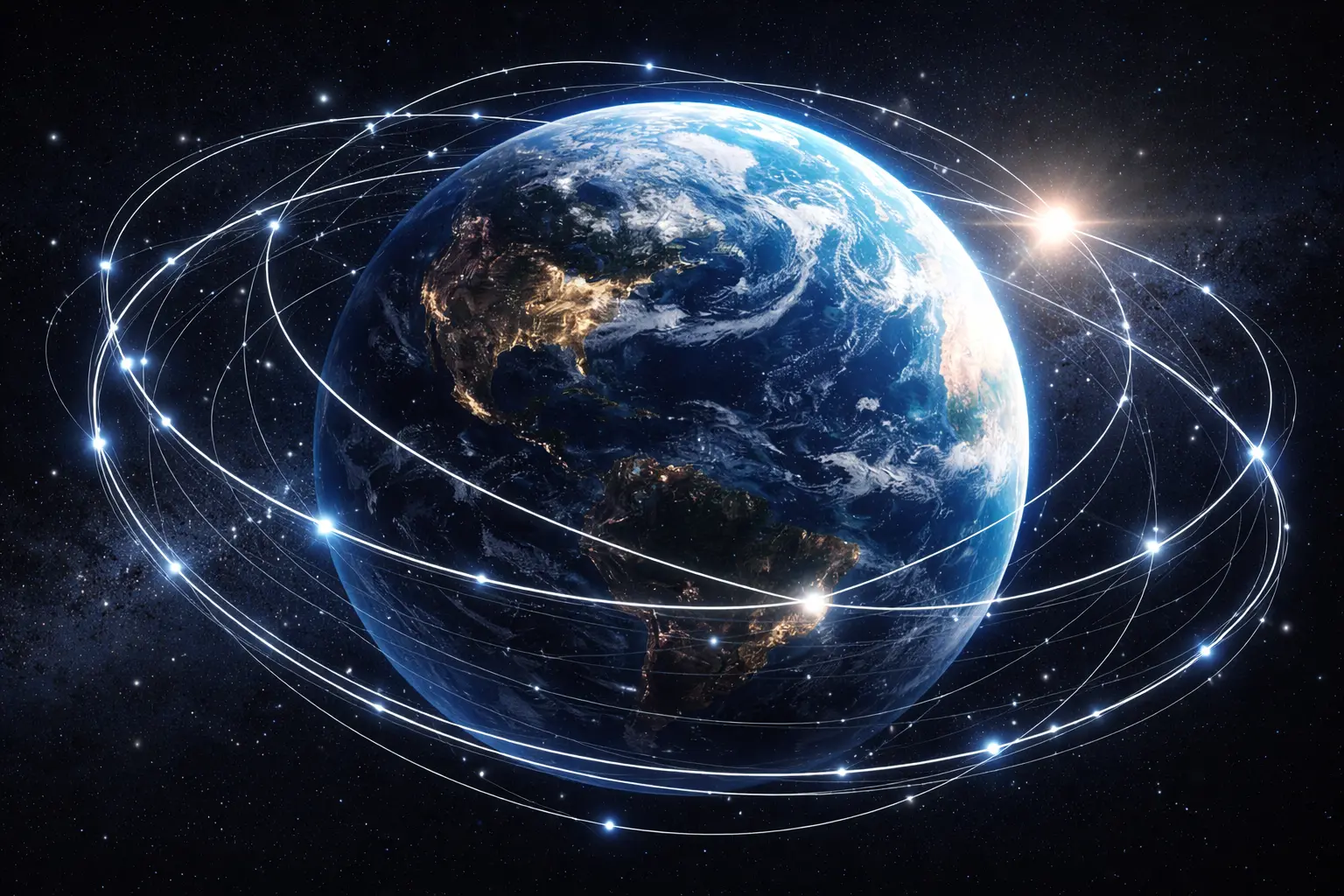
9. Extension: Satellite Ground Tracks
A satellite in orbit traces a ground track — the path of the point directly below it on Earth’s surface.
For a satellite at altitude $h$ above the equator:
- Orbital period: $T_{\text{orbit}}$
- Earth rotation period: $T_{\text{Earth}} = 86164$ s
Ground track shift per orbit:
\[\Delta lon = 360° \times \frac{T_{\text{orbit}}}{T_{\text{Earth}}}\]Example: Low Earth orbit satellite with $T_{\text{orbit}} = 90$ minutes:
\[\Delta lon = 360° \times \frac{5400}{86164} \approx 22.5°\]After one orbit, the ground track is 22.5° west of the starting point (Earth rotated eastward underneath).
Phase II models will derive orbital mechanics and predict when satellites pass overhead.
10. Math Refresher: Spherical Coordinates
Definition
In 3D, a point can be described by:
- Cartesian $(x, y, z)$: Rectangular coordinates
- Spherical $(r, \theta, \phi)$: Radial distance, polar angle, azimuthal angle
Conversion spherical → Cartesian:
\[x = r \sin\theta \cos\phi\] \[y = r \sin\theta \sin\phi\] \[z = r \cos\theta\](This is the physics convention with θ from the z-axis.)
Conversion Cartesian → spherical:
\[r = \sqrt{x^2 + y^2 + z^2}\] \[\theta = \arccos\left(\frac{z}{r}\right)\] \[\phi = \arctan2(y, x)\]Geographic vs. Physics Convention
Geography: Uses latitude (from equator) and longitude.
Physics: Uses co-latitude (from pole) and azimuth.
Both describe the same geometry — just different angle conventions.
Summary
- Earth is modelled as a sphere with radius $R = 6371$ km
- Latitude φ and longitude λ define positions on the surface
- Spherical to Cartesian: $x = R \cos(lat) \cos(lon)$, etc.
- Earth rotates at $\omega = 7.292 \times 10^{-5}$ rad/s
- Linear velocity at the equator: 465 m/s, decreases with latitude as $v = \omega R \cos(lat)$
- Great circles are the shortest paths on a sphere
- Coordinate transforms are essential for satellite tracking and Earth observation
Phase II Preview: The next phase will introduce orbital mechanics — how satellites move, how to predict their positions, and how to calculate when they pass overhead. We’ll derive Kepler’s laws, compute ground tracks, and model satellite swaths.